Houses at Almery Terrace
Introduction
The photograph on this page of Houses at Almery Terrace by Ian Paterson as part of the Geograph project.
The Geograph project started in 2005 with the aim of publishing, organising and preserving representative images for every square kilometre of Great Britain, Ireland and the Isle of Man.

There are currently over 7.5m images from over 14,400 individuals and you can help contribute to the project by visiting https://www.geograph.org.uk
Houses at Almery Terrace
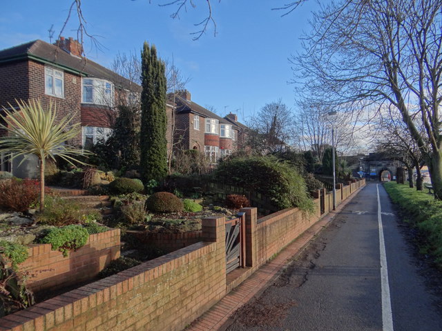
Image: © Ian Paterson Taken: 24 Dec 2018
Road access to the rear and a view of the River in front. These houses have flood prevention measures installed more than half-way up the garden.
Images are licensed for reuse under creativecommons.org/licenses/by-sa/2.0
Image Location


Leaflet Map data © OpenStreetMap
Latitude
53.961562
Longitude
-1.093561