Summerhill Park and Boggy Pond
Introduction
The photograph on this page of Summerhill Park and Boggy Pond by Sue Adair as part of the Geograph project.
The Geograph project started in 2005 with the aim of publishing, organising and preserving representative images for every square kilometre of Great Britain, Ireland and the Isle of Man.

There are currently over 7.5m images from over 14,400 individuals and you can help contribute to the project by visiting https://www.geograph.org.uk
Summerhill Park and Boggy Pond
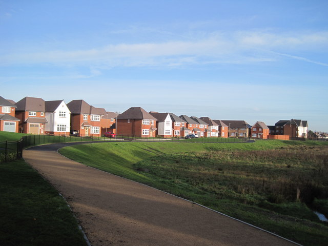
Image: © Sue Adair Taken: 17 Dec 2018
A new footpath through the Summerhill Park development links Penrose Avenue West with the Liverpool Loop Line cycle trail at Broadgreen.
Images are licensed for reuse under creativecommons.org/licenses/by-sa/2.0
Image Location
Latitude
53.408197
Longitude
-2.886735