River Ogmore access route from Angel Street, Bridgend
Introduction
The photograph on this page of River Ogmore access route from Angel Street, Bridgend by Jaggery as part of the Geograph project.
The Geograph project started in 2005 with the aim of publishing, organising and preserving representative images for every square kilometre of Great Britain, Ireland and the Isle of Man.

There are currently over 7.5m images from over 14,400 individuals and you can help contribute to the project by visiting https://www.geograph.org.uk
River Ogmore access route from Angel Street, Bridgend
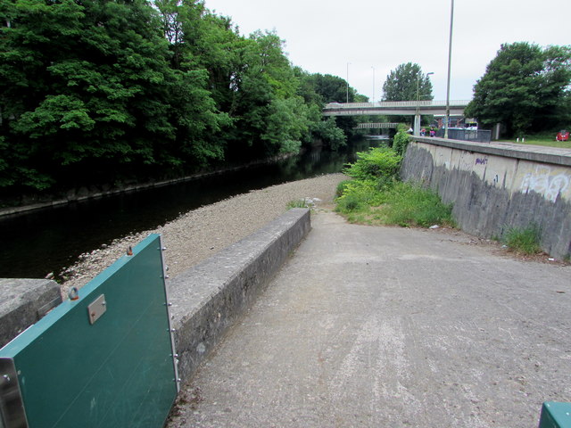
Image: © Jaggery Taken: 29 May 2017
An Ogmore Angling Association notice on the gate near the camera states Caution - Enclosed Channel. Entry at this location at individual's own risk. Check river flows and river level, weather conditions and forecast.
Images are licensed for reuse under creativecommons.org/licenses/by-sa/2.0
Image Location
Latitude
51.503876
Longitude
-3.579477