Stainsby
Introduction
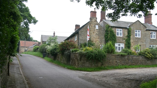
The photograph on this page of Stainsby by Alan Walker as part of the Geograph project.
The Geograph project started in 2005 with the aim of publishing, organising and preserving representative images for every square kilometre of Great Britain, Ireland and the Isle of Man.
There are currently over 7.5m images from over 14,400 individuals and you can help contribute to the project by visiting https://www.geograph.org.uk

Image: © Alan Walker Taken: 7 Jun 2007
This northerly facing photograph is of an unnamed¹ lane in Stainsby. All the properties in the hamlet are addressed by name rather than by house numbers. The track on the right leads to Stainsby Farm and the red tiled building in the distance stands by the entrance to Image For a more northerly (ahead) photograph of this lane, click here Image Behind the viewpoint is the lane's junction with the Image at Stainsbybrook. Whilst taking this photograph there was a noisy disturbance in the trees above me and within inches of my face a black fluttering thing(!) fell to the ground. When I turned to look at what had landed by my feet I found this Image ¹ Road name information from OS Maps at:- Elgin, http://www.elgin.gov.uk/ or the Mapping Portal of the Derbyshire Partnership, http://derbyshiremaps.derbyshire.gov.uk/

