Allowenshay
Introduction
The photograph on this page of Allowenshay by Nigel Mykura as part of the Geograph project.
The Geograph project started in 2005 with the aim of publishing, organising and preserving representative images for every square kilometre of Great Britain, Ireland and the Isle of Man.

There are currently over 7.5m images from over 14,400 individuals and you can help contribute to the project by visiting https://www.geograph.org.uk
Allowenshay
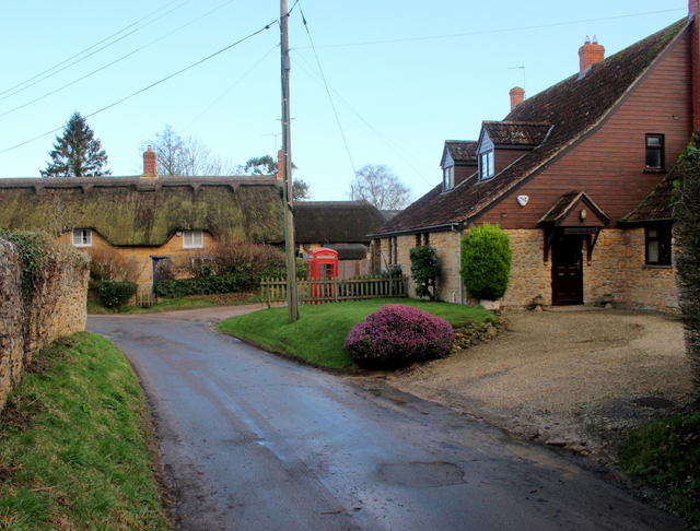
Image: © Nigel Mykura Taken: 24 Jan 2018
Allowenshay is a very small village well and truly off the beaten track. It has about twenty houses and a couple of farms.
Images are licensed for reuse under creativecommons.org/licenses/by-sa/2.0
Image Location


Leaflet Map data © OpenStreetMap
Latitude
50.915679
Longitude
-2.865689