Houses at the southern end of Heol Fawr, Nelson
Introduction
The photograph on this page of Houses at the southern end of Heol Fawr, Nelson by Jaggery as part of the Geograph project.
The Geograph project started in 2005 with the aim of publishing, organising and preserving representative images for every square kilometre of Great Britain, Ireland and the Isle of Man.

There are currently over 7.5m images from over 14,400 individuals and you can help contribute to the project by visiting https://www.geograph.org.uk
Houses at the southern end of Heol Fawr, Nelson
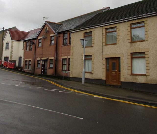
Image: © Jaggery Taken: 20 Dec 2018
Viewed from the B4255 junction in December 2018. The house on the left is recently built - it is not in a May 2016 Google Street View.
Images are licensed for reuse under creativecommons.org/licenses/by-sa/2.0
Image Location
Latitude
51.649851
Longitude
-3.281578