House at East Kyo
Introduction
The photograph on this page of House at East Kyo by Trevor Littlewood as part of the Geograph project.
The Geograph project started in 2005 with the aim of publishing, organising and preserving representative images for every square kilometre of Great Britain, Ireland and the Isle of Man.

There are currently over 7.5m images from over 14,400 individuals and you can help contribute to the project by visiting https://www.geograph.org.uk
House at East Kyo
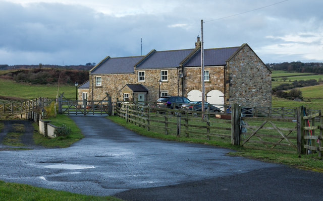
Image: © Trevor Littlewood Taken: 21 Dec 2018
The house is on the west side of Kyo Lane and close to East Kyo Farm. Both are near to Annfield Plain and to the small town of Stanley.
Images are licensed for reuse under creativecommons.org/licenses/by-sa/2.0
Image Location
Latitude
54.868678
Longitude
-1.727139