Boustead Hill
Introduction
The photograph on this page of Boustead Hill by James Emmans as part of the Geograph project.
The Geograph project started in 2005 with the aim of publishing, organising and preserving representative images for every square kilometre of Great Britain, Ireland and the Isle of Man.

There are currently over 7.5m images from over 14,400 individuals and you can help contribute to the project by visiting https://www.geograph.org.uk
Boustead Hill
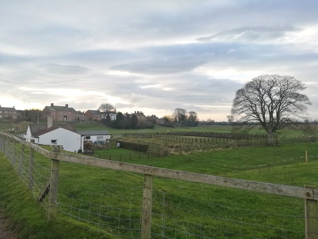
Image: © James Emmans Taken: 12 Dec 2018
Viewed south from the dyke road. Railway used to pass over the field. Complicated history of the line : http://www.cumbria-railways.co.uk/port-carlisle-railway.html
Images are licensed for reuse under creativecommons.org/licenses/by-sa/2.0
Image Location


Leaflet Map data © OpenStreetMap
Latitude
54.923295
Longitude
-3.102151