Gas infrastructure, Bovingdon Road, Carterton, Oxon
Introduction
The photograph on this page of Gas infrastructure, Bovingdon Road, Carterton, Oxon by P L Chadwick as part of the Geograph project.
The Geograph project started in 2005 with the aim of publishing, organising and preserving representative images for every square kilometre of Great Britain, Ireland and the Isle of Man.

There are currently over 7.5m images from over 14,400 individuals and you can help contribute to the project by visiting https://www.geograph.org.uk
Gas infrastructure, Bovingdon Road, Carterton, Oxon
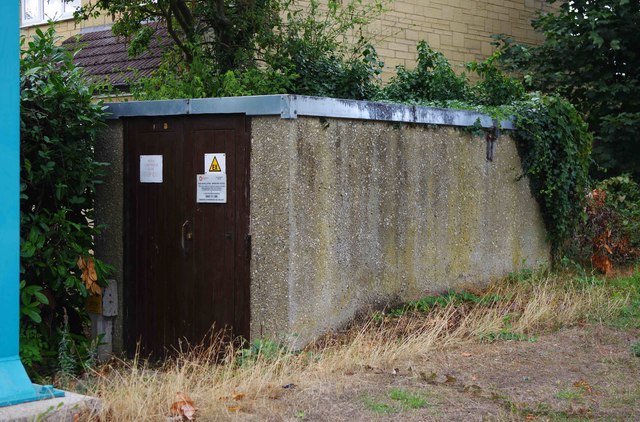
Image: © P L Chadwick Taken: 27 Aug 2018
This small building is part of the local gas supply. It is located under the footbridge over Brize Norton Road. Part of one of the massive supporting pillars for the footbridge can be seen on the extreme left of this photograph.
Images are licensed for reuse under creativecommons.org/licenses/by-sa/2.0
Image Location
Latitude
51.761415
Longitude
-1.588748