Development land
Introduction
The photograph on this page of Development land by John Baker as part of the Geograph project.
The Geograph project started in 2005 with the aim of publishing, organising and preserving representative images for every square kilometre of Great Britain, Ireland and the Isle of Man.

There are currently over 7.5m images from over 14,400 individuals and you can help contribute to the project by visiting https://www.geograph.org.uk
Development land
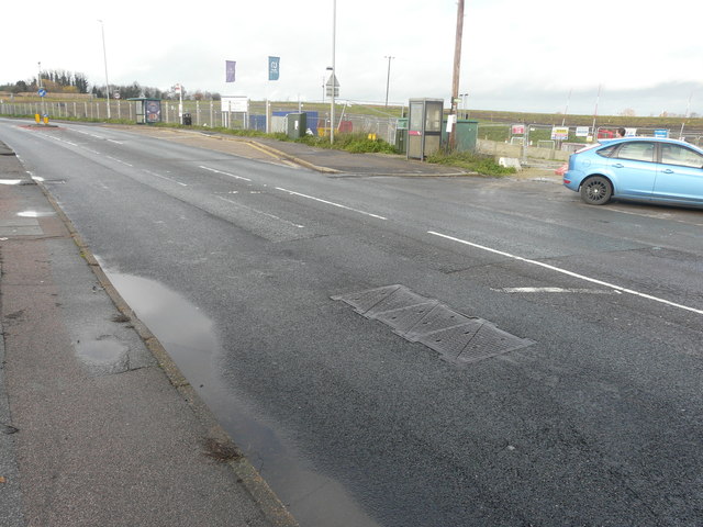
Image: © John Baker Taken: 2 Dec 2018
Planning permission has been granted by Swale Borough Council under application number 14/501588/OUT for a “hybrid application (part outline, part approval of detail) consisting of: outline application for the development of 550-600 houses and all necessary supporting infrastructure including roads, open space, play areas, neighbourhood shopping/community facilities (up to 650 sq m gross) and landscaping. All detailed matters are reserved for subsequent approval except (i) vehicular access to A2 Fox Hill; (ii) emergency access to Peel Drive; (iii) landscape buffer between housing and countryside gap and (iv) layout, planting, biodiversity enhancement and management of countryside gap, as amended by drawings 5257/OPA/SK001 Rev J (new red line plan), D119/52 (Swanstree Avenue plan) and D119/53 (junction layout plan)”. This is the site viewed from Image, which is to be built on farmland, once belonging to Stones Farm.
Images are licensed for reuse under creativecommons.org/licenses/by-sa/2.0
Image Location
Latitude
51.335395
Longitude
0.765536