Track bed of the old Wensleydale railway at Ballowfield
Introduction
The photograph on this page of Track bed of the old Wensleydale railway at Ballowfield by Julian Paren as part of the Geograph project.
The Geograph project started in 2005 with the aim of publishing, organising and preserving representative images for every square kilometre of Great Britain, Ireland and the Isle of Man.

There are currently over 7.5m images from over 14,400 individuals and you can help contribute to the project by visiting https://www.geograph.org.uk
Track bed of the old Wensleydale railway at Ballowfield
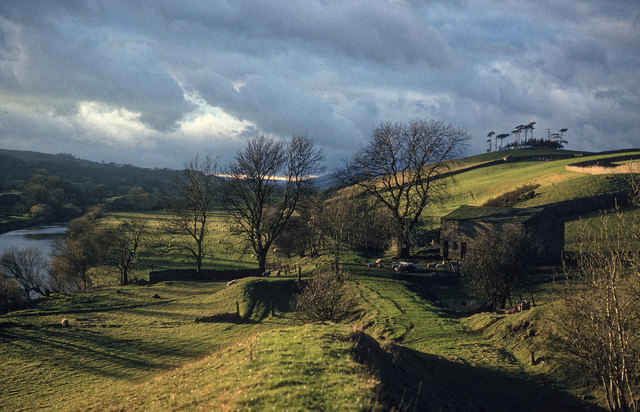
Image: © Julian Paren Taken: Unknown
The River Ure on the left of the railway line and Lady Hill to the right. Now a good path for walkers.
Images are licensed for reuse under creativecommons.org/licenses/by-sa/2.0
Image Location
Latitude
54.298862
Longitude
-2.016253