Dam and infrastructure, Chellow Dean lower reservoir
Introduction
The photograph on this page of Dam and infrastructure, Chellow Dean lower reservoir by Christine Johnstone as part of the Geograph project.
The Geograph project started in 2005 with the aim of publishing, organising and preserving representative images for every square kilometre of Great Britain, Ireland and the Isle of Man.

There are currently over 7.5m images from over 14,400 individuals and you can help contribute to the project by visiting https://www.geograph.org.uk
Dam and infrastructure, Chellow Dean lower reservoir
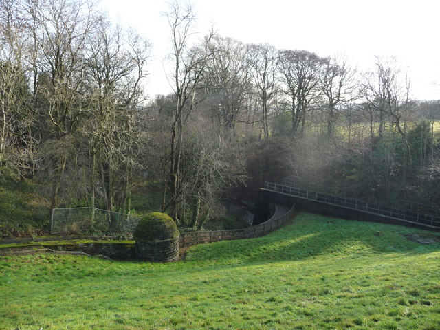
Image: © Christine Johnstone Taken: 17 Dec 2018
Bradford Corporation opened the upper reservoir in 1844 and the lower reservoir in 1853, to supply drinking water. Since 1974 Bradford Council has maintained the area for recreational use.
Images are licensed for reuse under creativecommons.org/licenses/by-sa/2.0
Image Location
Latitude
53.806649
Longitude
-1.813189