View from near the summit of Pen y Cwar
Introduction
The photograph on this page of View from near the summit of Pen y Cwar by Alan Hughes as part of the Geograph project.
The Geograph project started in 2005 with the aim of publishing, organising and preserving representative images for every square kilometre of Great Britain, Ireland and the Isle of Man.

There are currently over 7.5m images from over 14,400 individuals and you can help contribute to the project by visiting https://www.geograph.org.uk
View from near the summit of Pen y Cwar
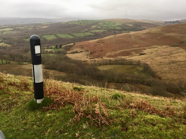
Image: © Alan Hughes Taken: 17 Dec 2018
The marker post serves to warn motorists of the very steep slope into the valley below. Nant y Ci lies immediately below, flowing into the Afon Cathan at the foot of the slopes of Pentwyn Mawr.
Images are licensed for reuse under creativecommons.org/licenses/by-sa/2.0
Image Location
Latitude
51.76015
Longitude
-3.977475