Moat Farm, Tansterne
Introduction
The photograph on this page of Moat Farm, Tansterne by Paul Glazzard as part of the Geograph project.
The Geograph project started in 2005 with the aim of publishing, organising and preserving representative images for every square kilometre of Great Britain, Ireland and the Isle of Man.

There are currently over 7.5m images from over 14,400 individuals and you can help contribute to the project by visiting https://www.geograph.org.uk
Moat Farm, Tansterne
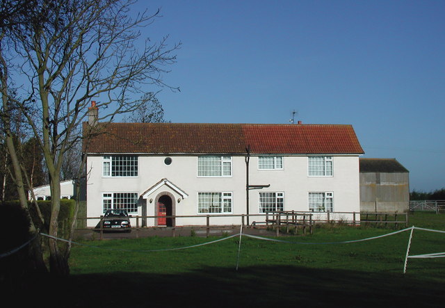
Image: © Paul Glazzard Taken: 29 Oct 2007
Moat Farm gets its name from a large moated enclosure west of the farmhouse on the other side of Tansterne Lane, which is thought to be the site of an old manor house. The moat itself is overgrown with trees and bushes.
Images are licensed for reuse under creativecommons.org/licenses/by-sa/2.0
Image Location
Latitude
53.819655
Longitude
-0.148708