Leazes Park Road
Introduction
The photograph on this page of Leazes Park Road by Robert Graham as part of the Geograph project.
The Geograph project started in 2005 with the aim of publishing, organising and preserving representative images for every square kilometre of Great Britain, Ireland and the Isle of Man.

There are currently over 7.5m images from over 14,400 individuals and you can help contribute to the project by visiting https://www.geograph.org.uk
Leazes Park Road
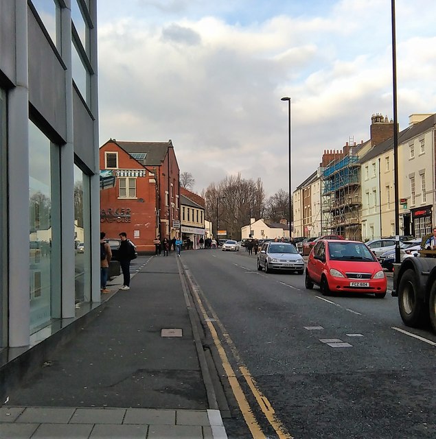
Image: © Robert Graham Taken: 27 Nov 2018
In Newcastle city centre. This road runs north from Percy Street up to Leazes Park, as the name suggests. The trees in the park can be seen in this view looking north up the street from the junction with Strawberry Place. This is a busy traffic route as can be seen.
Images are licensed for reuse under creativecommons.org/licenses/by-sa/2.0
Image Location
Latitude
54.976043
Longitude
-1.61877