Clay Lane, Teignmouth
Introduction
The photograph on this page of Clay Lane, Teignmouth by Derek Harper as part of the Geograph project.
The Geograph project started in 2005 with the aim of publishing, organising and preserving representative images for every square kilometre of Great Britain, Ireland and the Isle of Man.

There are currently over 7.5m images from over 14,400 individuals and you can help contribute to the project by visiting https://www.geograph.org.uk
Clay Lane, Teignmouth
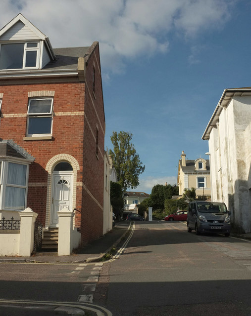
Image: © Derek Harper Taken: 28 Sep 2018
A reverse view of Image This motorable section of Clay Lane, linking Bitton Avenue (left) to the A379 Bitton Park Road at the top, has no dwellings on it, though there is a telephone exchange on the right. However, the footpath section of the lane, shown in Image], has a number of properties on it, without direct vehicular access. By the junction with the main road is the western side of the former Golden Lion Inn.
Images are licensed for reuse under creativecommons.org/licenses/by-sa/2.0
Image Location


Leaflet Map data © OpenStreetMap
Latitude
50.547427
Longitude
-3.501982