Kinettas Graveyard
Introduction
The photograph on this page of Kinettas Graveyard by Richard Dorrell as part of the Geograph project.
The Geograph project started in 2005 with the aim of publishing, organising and preserving representative images for every square kilometre of Great Britain, Ireland and the Isle of Man.

There are currently over 7.5m images from over 14,400 individuals and you can help contribute to the project by visiting https://www.geograph.org.uk
Kinettas Graveyard
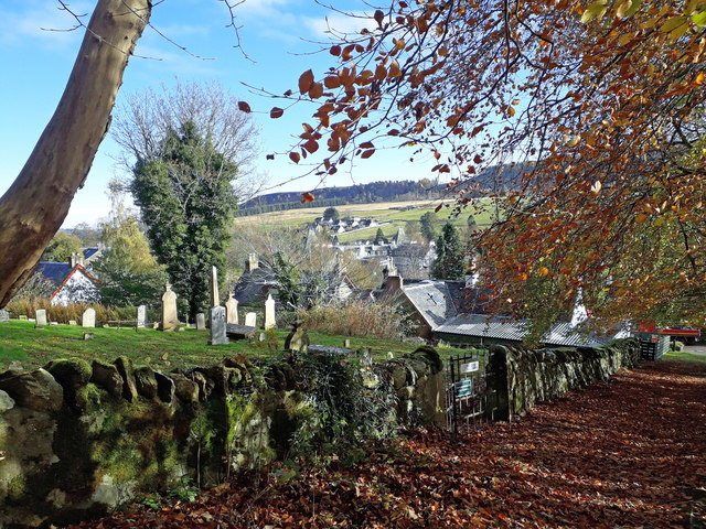
Image: © Richard Dorrell Taken: 1 Nov 2018
Viewed from a path just outside the boundary wall. This very ancient graveyard - in use since at least the end of the 18th century - lies behind a few houses in Strathpeffer village.
Images are licensed for reuse under creativecommons.org/licenses/by-sa/2.0
Image Location
Latitude
57.587724
Longitude
-4.543961