Bradford Road, Brighouse
Introduction
The photograph on this page of Bradford Road, Brighouse by Humphrey Bolton as part of the Geograph project.
The Geograph project started in 2005 with the aim of publishing, organising and preserving representative images for every square kilometre of Great Britain, Ireland and the Isle of Man.

There are currently over 7.5m images from over 14,400 individuals and you can help contribute to the project by visiting https://www.geograph.org.uk
Bradford Road, Brighouse
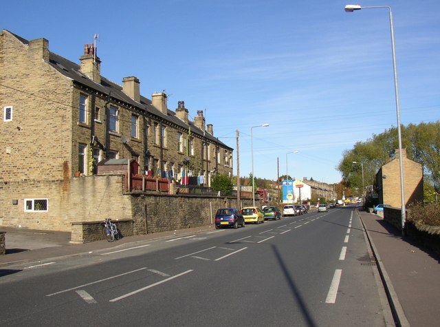
Image: © Humphrey Bolton Taken: 30 Oct 2007
The last blocks of terrace houses in Brighouse, as it was when they were built. Until 1937 the local authority beyond the brightly coloured signs was Hipperholme UDC.
Images are licensed for reuse under creativecommons.org/licenses/by-sa/2.0
Image Location
Latitude
53.715814
Longitude
-1.780256