Signs alongside Surgery Hill, Rhymney
Introduction
The photograph on this page of Signs alongside Surgery Hill, Rhymney by Jaggery as part of the Geograph project.
The Geograph project started in 2005 with the aim of publishing, organising and preserving representative images for every square kilometre of Great Britain, Ireland and the Isle of Man.

There are currently over 7.5m images from over 14,400 individuals and you can help contribute to the project by visiting https://www.geograph.org.uk
Signs alongside Surgery Hill, Rhymney
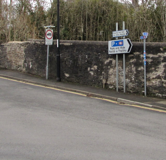
Image: © Jaggery Taken: 12 Dec 2018
The sign on the left shows No vehicles heavier than 7.5 tonnes except for access. The signs is the middle point towards Rhymney railway station Park & Ride and Maerdy Industrial Estate. The small signs on the right are for National Cycle Network Route 468.
Images are licensed for reuse under creativecommons.org/licenses/by-sa/2.0
Image Location
Latitude
51.759214
Longitude
-3.28757