High Moor Farm from Nor Wood
Introduction
The photograph on this page of High Moor Farm from Nor Wood by Mike Nield as part of the Geograph project.
The Geograph project started in 2005 with the aim of publishing, organising and preserving representative images for every square kilometre of Great Britain, Ireland and the Isle of Man.

There are currently over 7.5m images from over 14,400 individuals and you can help contribute to the project by visiting https://www.geograph.org.uk
High Moor Farm from Nor Wood
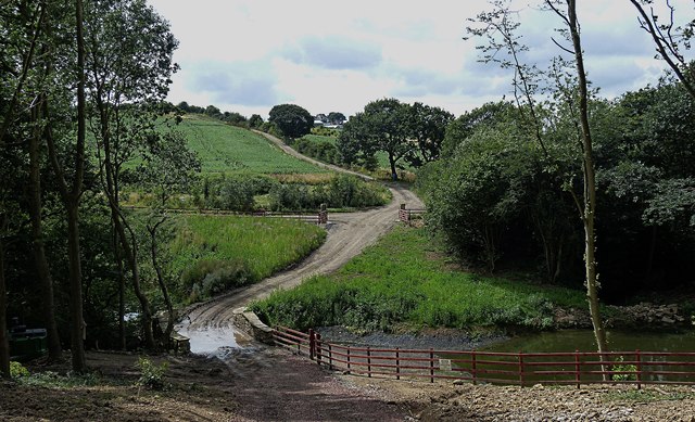
Image: © Mike Nield Taken: 4 Aug 2013
Although Nor Wood lies wholly within South Yorkshire, the boundary with north-east Derbyshire lies along its south-western edge. This view, taken from within the wood itself, looks across the border to High Moor Farm at the top of the hill and to the right of the access road.
Images are licensed for reuse under creativecommons.org/licenses/by-sa/2.0
Image Location
Latitude
53.325473
Longitude
-1.297923