Side road south of the B4257, Rhymney
Introduction
The photograph on this page of Side road south of the B4257, Rhymney by Jaggery as part of the Geograph project.
The Geograph project started in 2005 with the aim of publishing, organising and preserving representative images for every square kilometre of Great Britain, Ireland and the Isle of Man.

There are currently over 7.5m images from over 14,400 individuals and you can help contribute to the project by visiting https://www.geograph.org.uk
Side road south of the B4257, Rhymney
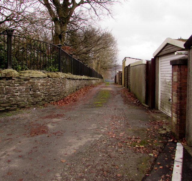
Image: © Jaggery Taken: 12 Dec 2018
Between lockup garages and the perimeter wall on the west side of St David's churchyard.
Images are licensed for reuse under creativecommons.org/licenses/by-sa/2.0
Image Location
Latitude
51.763783
Longitude
-3.289149