Crescent House, Waters Upton
Introduction
The photograph on this page of Crescent House, Waters Upton by Richard Law as part of the Geograph project.
The Geograph project started in 2005 with the aim of publishing, organising and preserving representative images for every square kilometre of Great Britain, Ireland and the Isle of Man.

There are currently over 7.5m images from over 14,400 individuals and you can help contribute to the project by visiting https://www.geograph.org.uk
Crescent House, Waters Upton
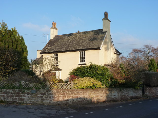
Image: © Richard Law Taken: 17 Nov 2018
Built around the core of an 18th century house, with improvements in the mid 19th century (one 18th century wing remains at the rear) and Grade II listed https://britishlistedbuildings.co.uk/101033315-crescent-house-waters-upton#.XBGB6tSLTGg in 1983.
Images are licensed for reuse under creativecommons.org/licenses/by-sa/2.0
Image Location
Latitude
52.771665
Longitude
-2.543346