Davenport Road, Yarm
Introduction
The photograph on this page of Davenport Road, Yarm by Stephen McKay as part of the Geograph project.
The Geograph project started in 2005 with the aim of publishing, organising and preserving representative images for every square kilometre of Great Britain, Ireland and the Isle of Man.

There are currently over 7.5m images from over 14,400 individuals and you can help contribute to the project by visiting https://www.geograph.org.uk
Davenport Road, Yarm
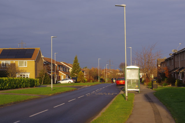
Image: © Stephen McKay Taken: 12 Dec 2018
Davenport Road is part of the Willey Flatts Estate to the south of Yarm town centre. The bus stop is at Mayes Walk and is the nearest to Yarm station.
Images are licensed for reuse under creativecommons.org/licenses/by-sa/2.0
Image Location
Latitude
54.495761
Longitude
-1.35553