Shoreline at Newport-on-Tay
Introduction
The photograph on this page of Shoreline at Newport-on-Tay by Mat Fascione as part of the Geograph project.
The Geograph project started in 2005 with the aim of publishing, organising and preserving representative images for every square kilometre of Great Britain, Ireland and the Isle of Man.

There are currently over 7.5m images from over 14,400 individuals and you can help contribute to the project by visiting https://www.geograph.org.uk
Shoreline at Newport-on-Tay
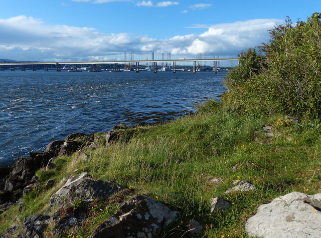
Image: © Mat Fascione Taken: 25 Jun 2017
In the distance is the Tay Road Bridge and the Dundee Docks.
Images are licensed for reuse under creativecommons.org/licenses/by-sa/2.0
Image Location
Latitude
56.442854
Longitude
-2.941044