Newport-on-Tay
Introduction
The photograph on this page of Newport-on-Tay by Mat Fascione as part of the Geograph project.
The Geograph project started in 2005 with the aim of publishing, organising and preserving representative images for every square kilometre of Great Britain, Ireland and the Isle of Man.

There are currently over 7.5m images from over 14,400 individuals and you can help contribute to the project by visiting https://www.geograph.org.uk
Newport-on-Tay
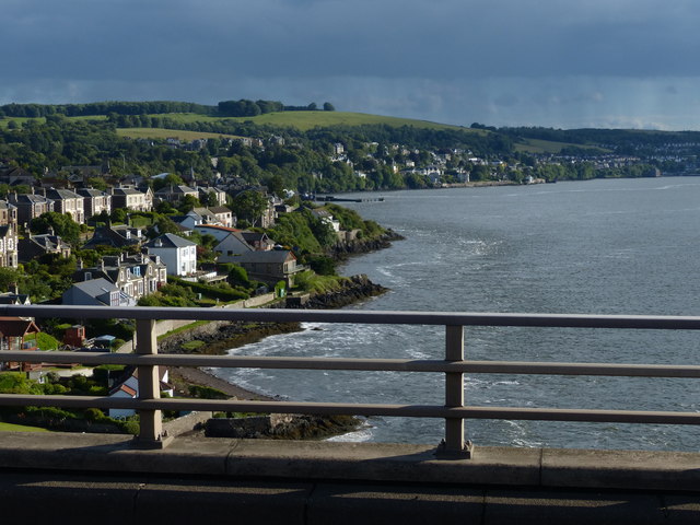
Image: © Mat Fascione Taken: 25 Jun 2017
Viewed from the Fife end of the Tay Road Bridge. The Tay Road Bridge carries the A92 road across the Firth of Tay from Newport-on-Tay in Fife to Dundee in Scotland. The bridge was opened in 1966, and is 2,250 metres (1.4 miles) in length. A pedestrian walkway runs along the centre of the bridge, with a lift at the Dundee end.
Images are licensed for reuse under creativecommons.org/licenses/by-sa/2.0
Image Location
Latitude
56.444935
Longitude
-2.939149