Herbal estate in Stotfold
Introduction
The photograph on this page of Herbal estate in Stotfold by David Howard as part of the Geograph project.
The Geograph project started in 2005 with the aim of publishing, organising and preserving representative images for every square kilometre of Great Britain, Ireland and the Isle of Man.

There are currently over 7.5m images from over 14,400 individuals and you can help contribute to the project by visiting https://www.geograph.org.uk
Herbal estate in Stotfold
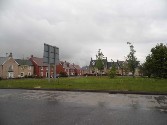
Image: © David Howard Taken: 12 May 2018
The two main roads on this new housing estate are Valerian Way and Comfrey Road, but no Parsley or Dill if anyone remembers those on TV. It may well be what was grown there before the houses arrived.
Images are licensed for reuse under creativecommons.org/licenses/by-sa/2.0
Image Location
Latitude
52.008822
Longitude
-0.239811