Lining Up
Introduction
The photograph on this page of Lining Up by Mark S as part of the Geograph project.
The Geograph project started in 2005 with the aim of publishing, organising and preserving representative images for every square kilometre of Great Britain, Ireland and the Isle of Man.

There are currently over 7.5m images from over 14,400 individuals and you can help contribute to the project by visiting https://www.geograph.org.uk
Lining Up
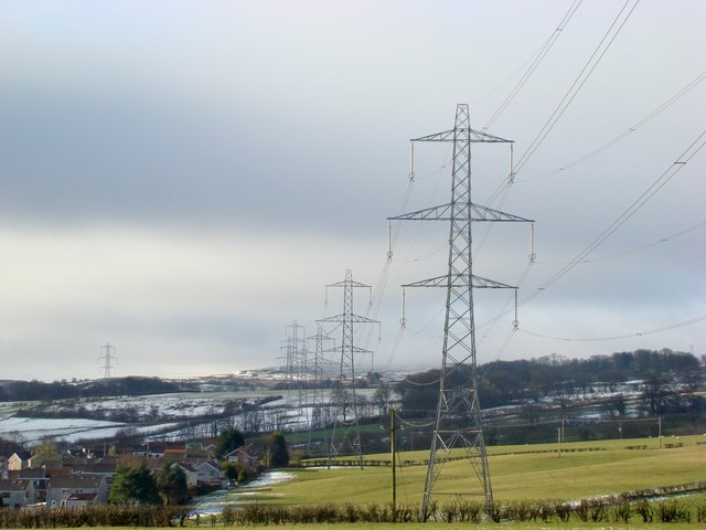
Image: © Mark S Taken: 5 Feb 2015
From Dipple Road on a cold February morning in 2015, a row of pylons extends into the distance. On the left is Herriot Avenue, a Wimpey housing development built in the 1970s.
Images are licensed for reuse under creativecommons.org/licenses/by-sa/2.0
Image Location
Latitude
55.767522
Longitude
-4.688581