Blacksmith Road, Fiskerton
Introduction
The photograph on this page of Blacksmith Road, Fiskerton by David Smith as part of the Geograph project.
The Geograph project started in 2005 with the aim of publishing, organising and preserving representative images for every square kilometre of Great Britain, Ireland and the Isle of Man.

There are currently over 7.5m images from over 14,400 individuals and you can help contribute to the project by visiting https://www.geograph.org.uk
Blacksmith Road, Fiskerton
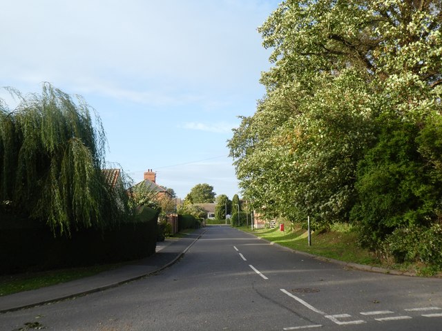
Image: © David Smith Taken: 19 Sep 2018
The Victorian OS map shows a smithy a few yards up this road, on the left, hence the road name
Images are licensed for reuse under creativecommons.org/licenses/by-sa/2.0
Image Location
Latitude
53.235157
Longitude
-0.431748