View WNW across farmland towards a farmhouse on Cumran Lane
Introduction
The photograph on this page of View WNW across farmland towards a farmhouse on Cumran Lane by Eric Jones as part of the Geograph project.
The Geograph project started in 2005 with the aim of publishing, organising and preserving representative images for every square kilometre of Great Britain, Ireland and the Isle of Man.

There are currently over 7.5m images from over 14,400 individuals and you can help contribute to the project by visiting https://www.geograph.org.uk
View WNW across farmland towards a farmhouse on Cumran Lane
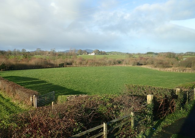
Image: © Eric Jones Taken: 7 Dec 2018
The Slieve Croob Range can be seen in the background. The image was taken from the A24.
Images are licensed for reuse under creativecommons.org/licenses/by-sa/2.0
Image Location
Latitude
54.296797
Longitude
-5.844718