The Watch House, South Shields
Introduction
The photograph on this page of The Watch House, South Shields by Robert Graham as part of the Geograph project.
The Geograph project started in 2005 with the aim of publishing, organising and preserving representative images for every square kilometre of Great Britain, Ireland and the Isle of Man.

There are currently over 7.5m images from over 14,400 individuals and you can help contribute to the project by visiting https://www.geograph.org.uk
The Watch House, South Shields
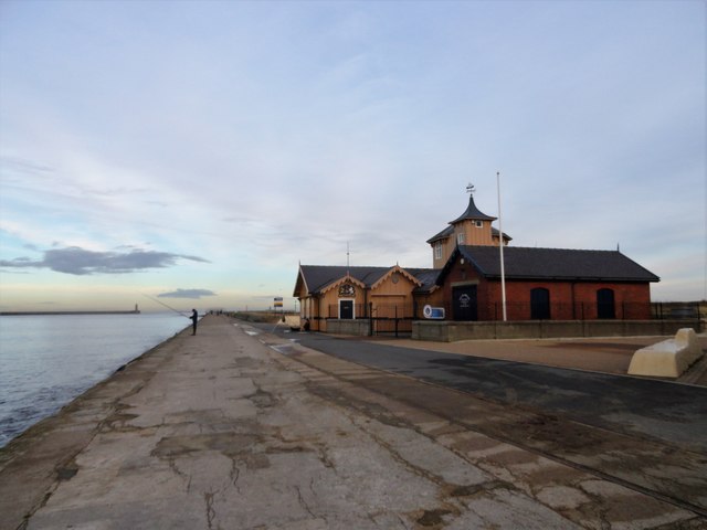
Image: © Robert Graham Taken: 4 Dec 2018
Located at the start of the South Pier, which can be seen running out to the harbour mouth. This house was built in 1867 for the Life Brigade and is still used for the lifeguards at South Shields.
Images are licensed for reuse under creativecommons.org/licenses/by-sa/2.0
Image Location
Latitude
55.00391
Longitude
-1.416984