Central Scotland from the air
Introduction
The photograph on this page of Central Scotland from the air by Thomas Nugent as part of the Geograph project.
The Geograph project started in 2005 with the aim of publishing, organising and preserving representative images for every square kilometre of Great Britain, Ireland and the Isle of Man.

There are currently over 7.5m images from over 14,400 individuals and you can help contribute to the project by visiting https://www.geograph.org.uk
Central Scotland from the air
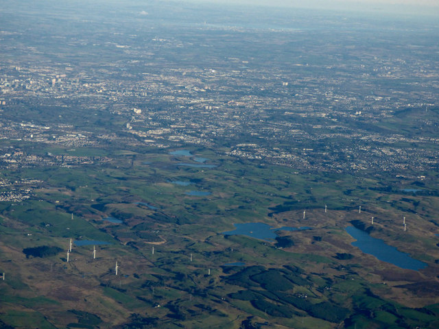
Image: © Thomas Nugent Taken: 3 Dec 2018
The wooded 269m Dareduff Hill, Harelaw Dam and Long Loch are in the foreground. South and east Glasgow, part of the city centre and the North Lanarkshire towns take up much of the middle distance, with Edinburgh and the Forth bridges visible in the extreme distance.
Images are licensed for reuse under creativecommons.org/licenses/by-sa/2.0
Image Location
Latitude
55.741162
Longitude
-4.462589