Churchyard of St Andrew's Church, Buckland-in-Dover
Introduction
The photograph on this page of Churchyard of St Andrew's Church, Buckland-in-Dover by pam fray as part of the Geograph project.
The Geograph project started in 2005 with the aim of publishing, organising and preserving representative images for every square kilometre of Great Britain, Ireland and the Isle of Man.

There are currently over 7.5m images from over 14,400 individuals and you can help contribute to the project by visiting https://www.geograph.org.uk
Churchyard of St Andrew's Church, Buckland-in-Dover
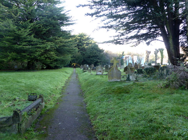
Image: © pam fray Taken: 4 Dec 2018
The parish church was built in 1196 but Saxon origins can still be seen. Partially rebuilt and enlarged in 1851 and further extended in 1880. The large churchyard runs beside Crabble Meadows.
Images are licensed for reuse under creativecommons.org/licenses/by-sa/2.0
Image Location
Latitude
51.137626
Longitude
1.292563