Footpath approaching Wednesbury Oak Loop, Lower Bradley
Introduction
The photograph on this page of Footpath approaching Wednesbury Oak Loop, Lower Bradley by Richard Vince as part of the Geograph project.
The Geograph project started in 2005 with the aim of publishing, organising and preserving representative images for every square kilometre of Great Britain, Ireland and the Isle of Man.

There are currently over 7.5m images from over 14,400 individuals and you can help contribute to the project by visiting https://www.geograph.org.uk
Footpath approaching Wednesbury Oak Loop, Lower Bradley
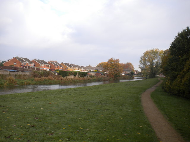
Image: © Richard Vince Taken: 20 Oct 2018
This footpath eventually joins the canal towpath beyond the large tree visible ahead. This section of canal reaches a dead end about a quarter of a mile south of here.
Images are licensed for reuse under creativecommons.org/licenses/by-sa/2.0
Image Location
Latitude
52.555792
Longitude
-2.065297