Combe Close, Bicknoller
Introduction
The photograph on this page of Combe Close, Bicknoller by Derek Harper as part of the Geograph project.
The Geograph project started in 2005 with the aim of publishing, organising and preserving representative images for every square kilometre of Great Britain, Ireland and the Isle of Man.

There are currently over 7.5m images from over 14,400 individuals and you can help contribute to the project by visiting https://www.geograph.org.uk
Combe Close, Bicknoller
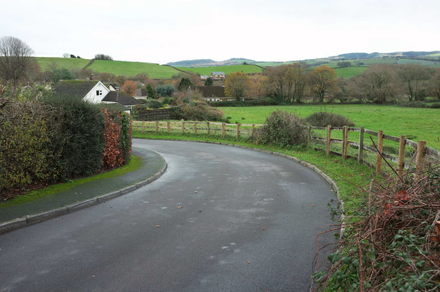
Image: © Derek Harper Taken: 1 Dec 2018
The cul-de-sac curves from the junction shown in Image] towards the seven modern properties at the head of it. Beyond is a view along the western fringe of the village.
Images are licensed for reuse under creativecommons.org/licenses/by-sa/2.0
Image Location
Latitude
51.147356
Longitude
-3.274755