Oak, Bicknoller
Introduction
The photograph on this page of Oak, Bicknoller by Derek Harper as part of the Geograph project.
The Geograph project started in 2005 with the aim of publishing, organising and preserving representative images for every square kilometre of Great Britain, Ireland and the Isle of Man.

There are currently over 7.5m images from over 14,400 individuals and you can help contribute to the project by visiting https://www.geograph.org.uk
Oak, Bicknoller
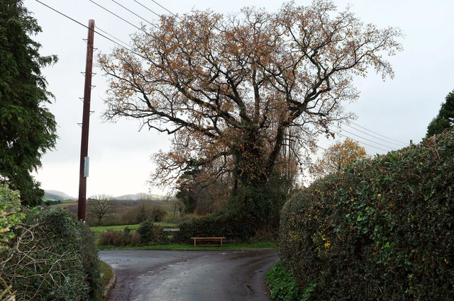
Image: © Derek Harper Taken: 1 Dec 2018
On Dashwoods Lane on the north side of the village. The junction is with Combe Close, a modern cul-de-sac. A dismal day and it's raining.
Images are licensed for reuse under creativecommons.org/licenses/by-sa/2.0
Image Location
Latitude
51.147718
Longitude
-3.274622