Church Lane, Bicknoller
Introduction
The photograph on this page of Church Lane, Bicknoller by Derek Harper as part of the Geograph project.
The Geograph project started in 2005 with the aim of publishing, organising and preserving representative images for every square kilometre of Great Britain, Ireland and the Isle of Man.

There are currently over 7.5m images from over 14,400 individuals and you can help contribute to the project by visiting https://www.geograph.org.uk
Church Lane, Bicknoller
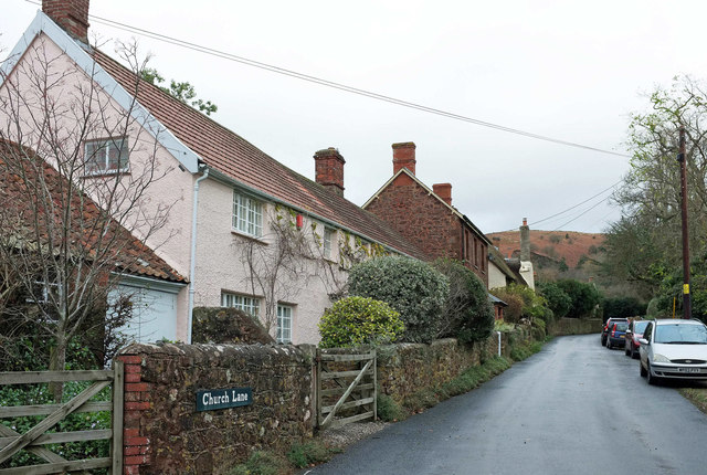
Image: © Derek Harper Taken: 1 Dec 2018
The house on the left, The Cottage, is listed https://historicengland.org.uk/listing/the-list/list-entry/1345666 . One of the stacks has been taken down.
Images are licensed for reuse under creativecommons.org/licenses/by-sa/2.0
Image Location
Latitude
51.147468
Longitude
-3.272757