Aerial View of TM0916
Introduction
The photograph on this page of Aerial View of TM0916 by terry joyce as part of the Geograph project.
The Geograph project started in 2005 with the aim of publishing, organising and preserving representative images for every square kilometre of Great Britain, Ireland and the Isle of Man.

There are currently over 7.5m images from over 14,400 individuals and you can help contribute to the project by visiting https://www.geograph.org.uk
Aerial View of TM0916
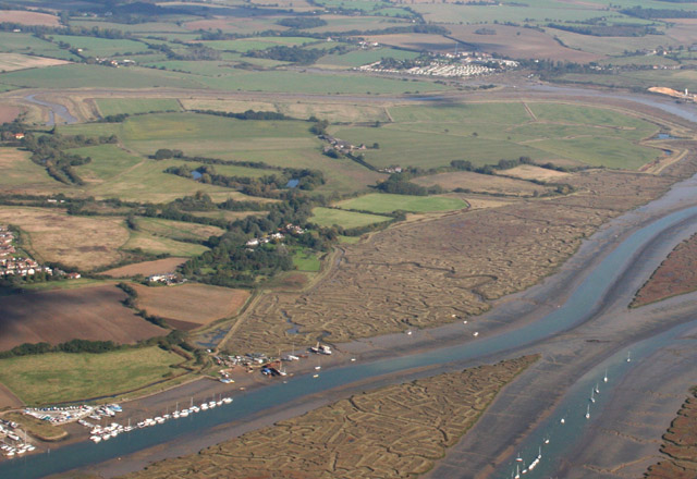
Image: © terry joyce Taken: 19 Oct 2007
Most of the grid can be seen in this photo. Cindery Island and Brightlingsea Creek are the prominent features. The tip of Hurst Green can just be seen middle left of the photo.
Images are licensed for reuse under creativecommons.org/licenses/by-sa/2.0
Image Location
Latitude
51.807903
Longitude
1.036088