Direction and distances signs, Brecon Road, Abergavenny
Introduction
The photograph on this page of Direction and distances signs, Brecon Road, Abergavenny by Jaggery as part of the Geograph project.
The Geograph project started in 2005 with the aim of publishing, organising and preserving representative images for every square kilometre of Great Britain, Ireland and the Isle of Man.

There are currently over 7.5m images from over 14,400 individuals and you can help contribute to the project by visiting https://www.geograph.org.uk
Direction and distances signs, Brecon Road, Abergavenny
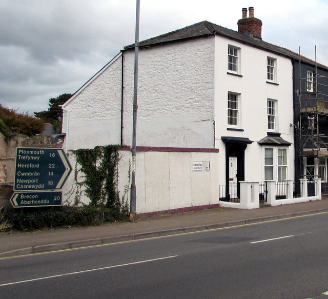
Image: © Jaggery Taken: 30 Sep 2018
On the north side of the A40 Brecon Road facing the Merthyr Road junction. Left for Brecon (20 miles), right for Monmouth (16), Hereford (22), Cwmbran (14), Newport (18). The Welsh names for Brecon, Monmouth and Newport are also shown.
Images are licensed for reuse under creativecommons.org/licenses/by-sa/2.0
Image Location
Latitude
51.824751
Longitude
-3.023467