Northern end of Mount Pleasant, Bryntirion, Bridgend
Introduction
The photograph on this page of Northern end of Mount Pleasant, Bryntirion, Bridgend by Jaggery as part of the Geograph project.
The Geograph project started in 2005 with the aim of publishing, organising and preserving representative images for every square kilometre of Great Britain, Ireland and the Isle of Man.

There are currently over 7.5m images from over 14,400 individuals and you can help contribute to the project by visiting https://www.geograph.org.uk
Northern end of Mount Pleasant, Bryntirion, Bridgend
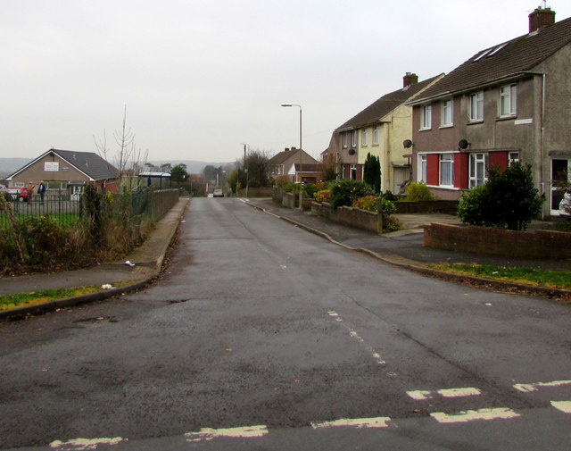
Image: © Jaggery Taken: 16 Nov 2018
Looking south from Llangewydd Road. Houses on the right, Bryntirion & Laleston Community Centre http://www.geograph.org.uk/photo/5977228 on the left.
Images are licensed for reuse under creativecommons.org/licenses/by-sa/2.0
Image Location
Latitude
51.510771
Longitude
-3.608105