Red Hill - former farm buildings
Introduction
The photograph on this page of Red Hill - former farm buildings by Stephen Craven as part of the Geograph project.
The Geograph project started in 2005 with the aim of publishing, organising and preserving representative images for every square kilometre of Great Britain, Ireland and the Isle of Man.

There are currently over 7.5m images from over 14,400 individuals and you can help contribute to the project by visiting https://www.geograph.org.uk
Red Hill - former farm buildings
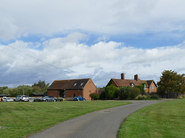
Image: © Stephen Craven Taken: 21 Sep 2018
These buildings now host the Red Hill community and their guests.
Images are licensed for reuse under creativecommons.org/licenses/by-sa/2.0
Image Location
Latitude
52.241054
Longitude
-1.669127