16 Castle Street, Crail
Introduction
The photograph on this page of 16 Castle Street, Crail by Richard Law as part of the Geograph project.
The Geograph project started in 2005 with the aim of publishing, organising and preserving representative images for every square kilometre of Great Britain, Ireland and the Isle of Man.

There are currently over 7.5m images from over 14,400 individuals and you can help contribute to the project by visiting https://www.geograph.org.uk
16 Castle Street, Crail
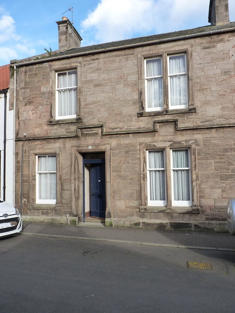
Image: © Richard Law Taken: 5 Oct 2018
16 Castle Street (and the adjoining no 18 to its right, which was rather obscured by a car on this occasion) is late 19th century town house which was Category C listed https://britishlistedbuildings.co.uk/200359158-16-and-18-castle-street-east-neuk-and-landward-ward#.W_7r9NSLTGg in 1972. The snecked rubble construction and the 'kinked' string course are not typical of other houses around Crail.
Images are licensed for reuse under creativecommons.org/licenses/by-sa/2.0
Image Location
Latitude
56.259492
Longitude
-2.626766