Derelict building on Moor Lane
Introduction
The photograph on this page of Derelict building on Moor Lane by Gordon Hatton as part of the Geograph project.
The Geograph project started in 2005 with the aim of publishing, organising and preserving representative images for every square kilometre of Great Britain, Ireland and the Isle of Man.

There are currently over 7.5m images from over 14,400 individuals and you can help contribute to the project by visiting https://www.geograph.org.uk
Derelict building on Moor Lane
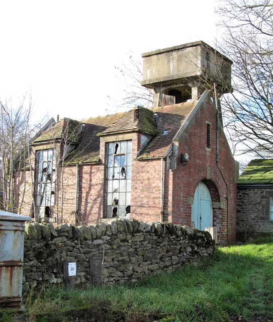
Image: © Gordon Hatton Taken: 26 Nov 2018
I think one can safely assume that this brick structure was once something to do with the local water supply, the elevated storage tank behind being a major clue, although there are no clues on old 6" or 25" maps of the area.
Images are licensed for reuse under creativecommons.org/licenses/by-sa/2.0
Image Location


Leaflet Map data © OpenStreetMap
Latitude
53.946877
Longitude
-1.905654