Part of the former Water Street Mill, Rochdale
Introduction
The photograph on this page of Part of the former Water Street Mill, Rochdale by Stephen Craven as part of the Geograph project.
The Geograph project started in 2005 with the aim of publishing, organising and preserving representative images for every square kilometre of Great Britain, Ireland and the Isle of Man.

There are currently over 7.5m images from over 14,400 individuals and you can help contribute to the project by visiting https://www.geograph.org.uk
Part of the former Water Street Mill, Rochdale
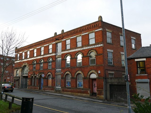
Image: © Stephen Craven Taken: 26 Nov 2018
The main building of the mill was to the left of this, but was destroyed in a fire on 4 January 1979. See https://www.flickr.com/photos/manchesterfire/13950163740
Images are licensed for reuse under creativecommons.org/licenses/by-sa/2.0
Image Location
Latitude
53.615968
Longitude
-2.153696