Road heading east towards Stokesley
Introduction
The photograph on this page of Road heading east towards Stokesley by Christine Johnstone as part of the Geograph project.
The Geograph project started in 2005 with the aim of publishing, organising and preserving representative images for every square kilometre of Great Britain, Ireland and the Isle of Man.

There are currently over 7.5m images from over 14,400 individuals and you can help contribute to the project by visiting https://www.geograph.org.uk
Road heading east towards Stokesley
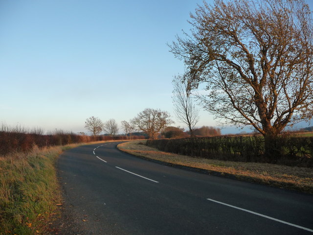
Image: © Christine Johnstone Taken: 15 Nov 2018
Taken at a 66 metre spot height. A civil parish boundary runs along the south side of this stretch of road. Skutterskelfe to the right / south, Seamer along the road and to the left / north.
Images are licensed for reuse under creativecommons.org/licenses/by-sa/2.0
Image Location
Latitude
54.461459
Longitude
-1.236975