Course of the Waverley route
Introduction
The photograph on this page of Course of the Waverley route by Jonathan Thacker as part of the Geograph project.
The Geograph project started in 2005 with the aim of publishing, organising and preserving representative images for every square kilometre of Great Britain, Ireland and the Isle of Man.

There are currently over 7.5m images from over 14,400 individuals and you can help contribute to the project by visiting https://www.geograph.org.uk
Course of the Waverley route
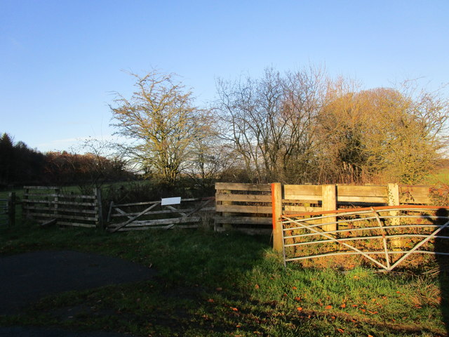
Image: © Jonathan Thacker Taken: 24 Nov 2018
Opened as the Border Union Railway in 1861 and closed in 1969. There is periodic talk of re-opening the line but that has so far only been achieved between Edinburgh and Tweedbank.
Images are licensed for reuse under creativecommons.org/licenses/by-sa/2.0
Image Location
Latitude
55.04196
Longitude
-2.959555