Track to The Downs
Introduction
The photograph on this page of Track to The Downs by Chris Thomas-Atkin as part of the Geograph project.
The Geograph project started in 2005 with the aim of publishing, organising and preserving representative images for every square kilometre of Great Britain, Ireland and the Isle of Man.

There are currently over 7.5m images from over 14,400 individuals and you can help contribute to the project by visiting https://www.geograph.org.uk
Track to The Downs
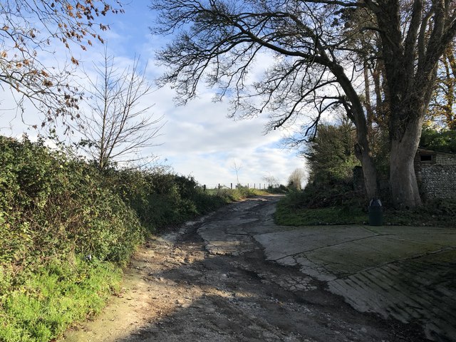
Image: © Chris Thomas-Atkin Taken: 26 Nov 2018
The track passes an area near Findon marked on the OS Map as The Downs.
Images are licensed for reuse under creativecommons.org/licenses/by-sa/2.0
Image Location
Latitude
50.870175
Longitude
-0.401152