The A4104 at Tunnel Hill
Introduction
The photograph on this page of The A4104 at Tunnel Hill by Philip Halling as part of the Geograph project.
The Geograph project started in 2005 with the aim of publishing, organising and preserving representative images for every square kilometre of Great Britain, Ireland and the Isle of Man.

There are currently over 7.5m images from over 14,400 individuals and you can help contribute to the project by visiting https://www.geograph.org.uk
The A4104 at Tunnel Hill
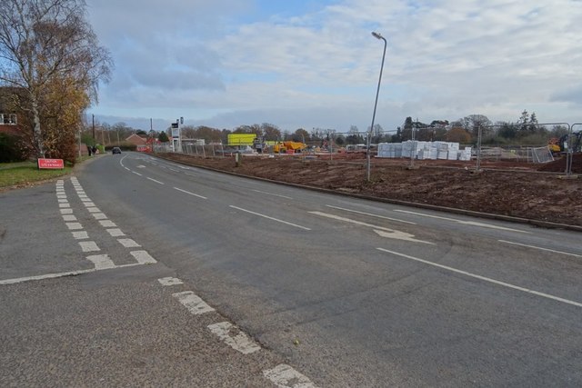
Image: © Philip Halling Taken: 25 Nov 2018
The A4104 at Tunnel Hill. Until last week there was a hedge on the other side of the road, that has been grubbed out in preparation for the building of houses.
Images are licensed for reuse under creativecommons.org/licenses/by-sa/2.0
Image Location


Leaflet Map data © OpenStreetMap
Latitude
52.057516
Longitude
-2.235353