Litlington: listed buildings
Introduction
The photograph on this page of Litlington: listed buildings by John Sutton as part of the Geograph project.
The Geograph project started in 2005 with the aim of publishing, organising and preserving representative images for every square kilometre of Great Britain, Ireland and the Isle of Man.

There are currently over 7.5m images from over 14,400 individuals and you can help contribute to the project by visiting https://www.geograph.org.uk
Litlington: listed buildings
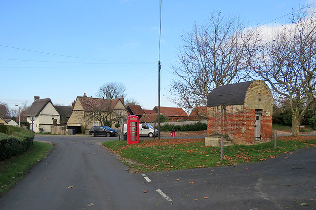
Image: © John Sutton Taken: 25 Nov 2018
The timber-framed houses on the left are Grade II listed, as are the K6 telephone kiosk and the 18th-century village lock-up. For more about the lock-up, see Image
Images are licensed for reuse under creativecommons.org/licenses/by-sa/2.0
Image Location
Latitude
52.067949
Longitude
-0.087355