Litlington: the corner of Burr's Lane
Introduction
The photograph on this page of Litlington: the corner of Burr's Lane by John Sutton as part of the Geograph project.
The Geograph project started in 2005 with the aim of publishing, organising and preserving representative images for every square kilometre of Great Britain, Ireland and the Isle of Man.

There are currently over 7.5m images from over 14,400 individuals and you can help contribute to the project by visiting https://www.geograph.org.uk
Litlington: the corner of Burr's Lane
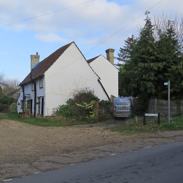
Image: © John Sutton Taken: 25 Nov 2018
The Grade II listing suggests the timber-framed cottage may date from the 18th century, with 19th-century alterations.
Images are licensed for reuse under creativecommons.org/licenses/by-sa/2.0
Image Location
Latitude
52.068292
Longitude
-0.086319