Litlington Congregational Church
Introduction
The photograph on this page of Litlington Congregational Church by John Sutton as part of the Geograph project.
The Geograph project started in 2005 with the aim of publishing, organising and preserving representative images for every square kilometre of Great Britain, Ireland and the Isle of Man.

There are currently over 7.5m images from over 14,400 individuals and you can help contribute to the project by visiting https://www.geograph.org.uk
Litlington Congregational Church
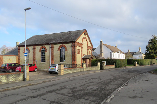
Image: © John Sutton Taken: 25 Nov 2018
The chapel, on Meeting Lane, is dated 1863.
Images are licensed for reuse under creativecommons.org/licenses/by-sa/2.0
Image Location
Latitude
52.068439
Longitude
-0.08427